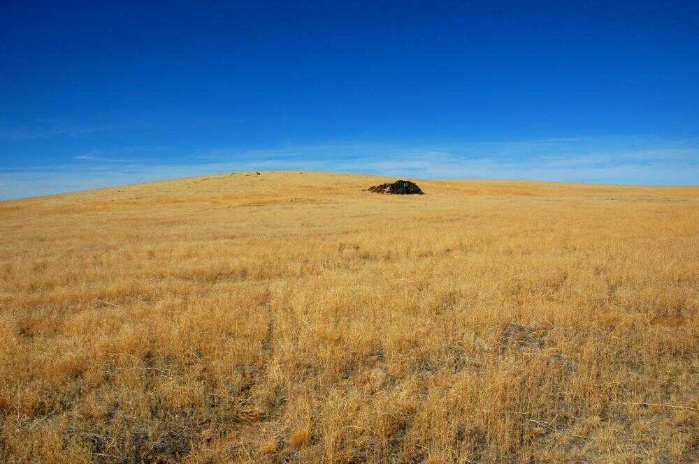
Ever Hear of the Idaho Centennial Trail

It all started with one of our weekend Jeep trips; we were headed to Murphy Hot Springs to see what damage the recent range fires have caused. We gassed the Jeep up in Bruneau and then headed out through the Air Force test range and the turned south on Three Creek Rd.
http://marsman.smugmug.com/photos/202426578-M.jpg
One mile from Clover Crossing I noticed the sign leading to the Bruneau River and realized this would be a good way to travel part of the Idaho Centennial Trail.
According to the Idaho Public Television webpage about the ICT, Roger Williams and Syd Tate first hiked the entire length of Idaho in 1986. They wanted to share their route with others so negotiations started to make this an official state trail with the intention of this becoming an adventure for anyone that will last well into the future. The trail was officially dedicated during the Idaho 100 year celebration in 1990, the markers are still there. The official route only follows half of what they originally hiked.
The Jeep stops, "Lets do something different, do you want to see some of the ICT?" Nancy nodded yes, "I am sure this road will intercept the trail in a few miles."
http://marsman.smugmug.com/photos/202432601-M.jpg
Very quickly after starting the access route we spotted some deer grazing.
I realized that this would be a great one day off road motorcycle ride. This is one of the best dual sport roads for motorcycles in my opinion.
I started logging the route with the GPS for future reference.
http://marsman.smugmug.com/photos/202446127-M.jpg
After a few rock gardens, washouts and
http://marsman.smugmug.com/photos/202446918-M.jpg
cattle crossing
http://marsman.smugmug.com/photos/202449394-M.jpg
we found the first of the ICT markers.
http://marsman.smugmug.com/photos/202445362-M.jpg
Looking to the south you see the Jarbige ridge, snow is already falling.
http://marsman.smugmug.com/photos/202447753-M.jpg
The ground was tacky from previous rain, even a few puddles. This was making me want to be on my dual sport motorcycle.
http://marsman.smugmug.com/photos/202455793-M.jpg
The ICT markers are still standing at every major intersection including some other signs
http://marsman.smugmug.com/photos/202448247-M.jpg
designating wildlife study areas and then a few more miles down the trail there is
http://marsman.smugmug.com/photos/202464110-M.jpg
"This Old House".
http://marsman.smugmug.com/photos/202520596-M.jpg
I can't imagine what this must be like to have lived here,
http://marsman.smugmug.com/photos/202486535-M.jpg
sitting around the old fireplace, "It's kind of cold and can you put more cow chips on the fire? That's better, thanks!"
http://marsman.smugmug.com/photos/202499672-M.jpg
you've got to admit, the view isn't too bad!
Most of the route was Jeepable except one area, ruts big enough to tip the beast over, momentum and rubbing shoulders with some sage brush helped clear the washed out road.
http://marsman.smugmug.com/photos/202540026-M.jpg
In and out of several other rock gardens and over a few ridges and then
http://marsman.smugmug.com/photos/202543717-M.jpg
we dropped into and crossed the Bruneau River entering a settlement called Winter Camp.
http://marsman.smugmug.com/photos/202551982-M.jpg
The crossing is located around some abandoned buildings. The ICT continues up the river bed for a mile or so, there was a trailer and some new farm equipment down stream so we exited the canyon at one of the two access points from he northern side and quickly made our way to Three Creek Road about 18 miles from the Bruneau Overlook.
http://marsman.smugmug.com/photos/202568108-M.jpg
We headed back into Bruneau and could see the smoke of another widlfire but did see the flames. I clocked in a little over 95 miles for the loop.
http://marsman.smugmug.com/photos/202535344-M.jpg
From my experience this is the perfect one-day trip.
http://marsman.smugmug.com/photos/202536692-M.jpg
It has a number of challenging areas that are not too difficult for those new to the sport of off roading and also offers a challenge for any one wanting to pick the pace up a bit. At the end, the Pastime bar in Bruneau offers a great burger and their steaks are quite a good deal, the Rib Eye has got to be a good inch or more thick. They don't open until 3:00 pm on Sundays.
This is a 4-wheel drive only road with some difficult terrain depending on your skill level. I have all of the major intersections of this route logged by GPS with a Garmin tracklog and waypoints, if any one is interested.
Last year I motorcycled part of the ICT trail north of Highway 21 near Hill City. I had heard second hand that the Forest Service was considering closing this part of the trail, most people know it as the North Fork of Lime Creek. That day I attempted it with two other riders, it took 4 hours to travel about 4 miles. Large trees were strewn over the area that required porting our motorcycles over stacks of trees as high as 6 feet above the ground. Later last year two local trail friendly motorcyclist cleared the trail after I told them about it, Dave Wyman and Butch Rayburn rode the trail with chain saws and cleared all of the fallen trees. Good on you both.
Posting a comment requires free registration:
- If you already have an account, follow this link to login
- Otherwise, follow this link to register

